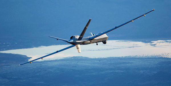
Unmanned Vehicles Will Enhance Operational Intelligence
On 1 June, Esri announced that its spatial analytics capabilities will be leveraged by US Navy (USN) unmanned vehicles for the first time to improve the gathering and analysis of information prior tom ocean and near-shore operations. Data from multiple remote sensors is uploaded to a command centre, where the information can be knit together using Esri’s technologies, enabling structured, comprehensive analysis and therefore better, faster decision-making.
An ‘Unmanned System Operational Demonstration’ off the Mississippi coast in early June aimed, “to demonstrate Naval oceanography’s environmental support capability for fleet and joint unmanned systems (UxS) operations,” in the words of Rear-Adm. Timothy Gallaudet, commander of the host organisation, Naval Meteorology and Oceanography Command (NMOC) – the USN’s premier scientific command. Using Esri’s enterprise software, NMOC can now analyse data such as water temperature, humidity, wind speed, and topography, all in near real-time. USN commanders can make faster tactical decisions, better incorporating environmental conditions into operational plans. For instance, before deploying Marines onto a beach in a high-risk area, drones or other unmanned vehicles can perform reconnaissance on environmental conditions and even the presence of hazards such as land mines.
“The use of Esri’s platform represents a huge improvement in the operational impact of data collected by unmanned marine systems,” Dawn Wright, Esri’s Chief Scientist, explained. “We look forward to delivering critical situational awareness for the USN during missions. Never before has ocean-based reconnaissance intelligence been both authoritative and available in near real-time.”