Enhances Situational Awareness and Collision Avoidance Capability
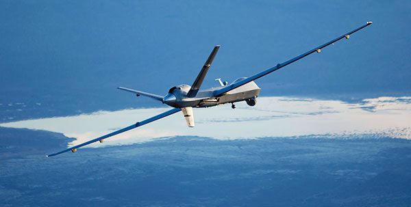
UAV Navigation has released details of a new system for UAS operators to be able to visualise traffic in the aircraft’s immediate surroundings, the company announced on 18 February.
The exponential increase in the number of UAS now flying poses real challenges for safety assurance. Growing interest in urban air mobility – which some observers see as the ‘future of mobility,’ – is further exacerbating the situation.
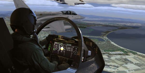
In recent years, unmanned aerial systems (UAS) have gradually approached the goal of being integrated into nonsegregated airspace, enabling them to coexist with manned aircraft under the same conditions of safety and reliability. To achieve this, a new generation of airborne collision avoidance systems (ACAS) has become necessary, enabling UAS operators to visualise aerial traffic in the aircraft’s surroundings. The use of the same technology currently used in the manned aviation domain provides the possibility for automatic segregation of unmanned traffic, providing air traffic control (ATC) authorities with the ability to identify risk and recommend action.
Concerned by these developments and committed to safely integrating client UAS operators’ platforms with manned aviation, UAV Navigation has therefore developed a new feature: the ability to visualise surrounding traffic on the Visionair GCS software.
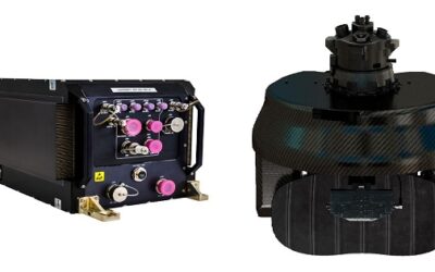
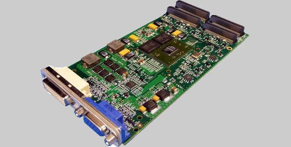
The UAV autopilot is a key part of the unmanned traffic management system, and its integration into controlled airspace is necessary, since it is the core of the platform’s flight control system. The VECTOR range of autopilots receives information from the transponder IN and passes this real-time data to the GCS Software, allowing UAS operators to understand the surrounding air traffic picture. Thanks to this information, the operator will be able to execute evasive action in the event of an impending approach or converging trajectory, avoiding hazardous situations. In the same manner, the autopilot transmits information about its own speed and location to the surrounding aircraft, creating collaborative airspaces.
The system consists of an intuitive interface, in which the icons of surrounding aircraft have a different shape and colour, depending on the response time. Additionally, the system displays an indicator of the vertical speed, so the operator will find their situational awareness improved.