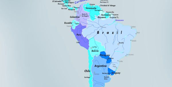
New Hi-Res 3D Rendering of Spain
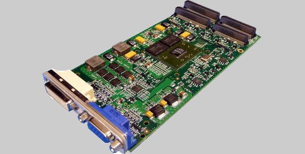
MetaVR announced the release of Terrain Tools version 1.6 on 21 September. The software is the company’s extension to the industry standard Geographic Information System (GIS) platform, Esri ArcGIS for Desktop, that enables users to turn geospecific data into real-time 3D terrain for rendering in MetaVR’s image generator software, Virtual Reality Scene Generator (VRSG).
Terrain Tools combines powerful 3D terrain building functionality with an accessible and intuitive interface that enables users to create real-time terrain for simulated military and civil training scenarios in MetaVR’s Metadesic round-earth terrain format. The latest version adds new features and enhancements, including:
• The ability to recompile an existing 3D terrain’s cultural features (such as models, instances, lights, and fences) without having to recompile the terrain and textures;
• The addition of a new feature type for compiling extruded building features using an Esri CityEngine rule package (.rpk) to enable adding large areas of dense culture to 3D terrain quickly and easily in order to simplify workflow;
• The colourization of tree models and other vegetation by automatic colour-matching of the models with underlying geospecific imagery, resulting in increased realism and suspension of disbelief to flight simulations;
• Improved coastline rendering, with the surface depth along a coastline now computed as a function of the distance to the coastline and bathymetry source data no longer required to generate a bathymetry surface;
• The addition of a new tool to create a raster image from compiled terrain for cases where a heightmap is needed. Such cases include using the raster as input to CityEngine;
• An improvement to rendering levels of detail (LOD) with a new technique that smooths LOD transitions while reducing triangle count by over 20%;
• Performance enhancements for large areas of instanced trees via LOD probability weights specified in a JSON file and support of the LOD Scale feature attribute;
• Performance and navigation improvements to the Build Manager interface;
• Runway improvements to better support fitting multiple geometry layers within a runway model to the curvature of the earth and terrain profile.
Using Terrain Tools version 1.6, MetaVR has built a new high-resolution 3D terrain dataset of Spain as part of its coverage of Europe. The geospecific round-earth terrain was built with 0.50mpp resolution source imagery and SRTM1 (30m) elevation source data covering the entire country, and bathymetry data of the northern/western Spain coastline. It includes areas of high-resolution insets of Lugo province in the Galicia region of northwest Spain and Los Llanos Albacete Air Base in central Spain.