How Can LiDAR Technology Help Keep Our Armed Forces Safe?
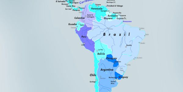
Escalating conflicts in Afghanistan, Iraq, Libya, Syria, Ukraine and Yemen saw fatalities and casualties from explosive devices increase by 5% to 43,786 in 2015, resulting in an unexpected 10 year high. It’s also been reported by Action on Armed Violence (AOAV), that over 76% of these victims were also civilians – up a staggering 50% since 2011. With these numbers sadly on the incline, Joe Beeching, LiDAR Product Specialist from 3D Laser Mapping, discusses how automated technologies may well be the answer to help keep our armed forces safe.
Despite Improved Explosive Devices (IEDs) now being more prevalent in countries such as Iraq, Pakistan and Afghanistan, research from the AOAV recorded incidents in 64 separate countries in 2015. From road side devices in Syria, to car bombs in Lagos, IEDs are being used to attack areas with large amounts of civilians as well as destabilising military operations across the world.
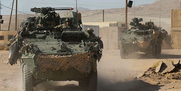
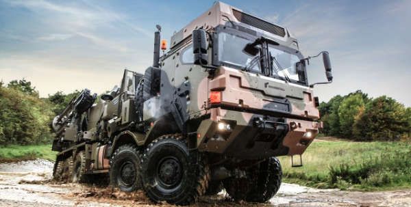
As explosive incidents increase, advancements in automation technologies are keeping our armed forces safer than ever before. As well as helping to protect large communities being affected by civil war and terrorism worldwide, warfare and relief efforts are being transformed by the application of technological innovations. These advancements are allowing remote decisions to be made without exposing military personnel to the most dangerous of circumstances. Whether used for rescue efforts or in preventative reconnaissance, unmanned, automated remote technologies are revolutionising battlefields and helping to limit the number of combat fatalities and injuries.
Away from the armed forces, many industries are already well down the path towards total automation, with global giants such as Amazon and Google funding large scale projects such as staff-less supermarkets and self-drive vehicles. Both of these ‘futuristic’ concepts rely on one technology – Light Detection and Ranging (LiDAR). LiDAR uses light from a laser to measure distance, with the ability to capture over 1,000,000 measurements per second. Laser scanning is one of the most effective ways of recreating physical environments, remotely, in three dimensions.
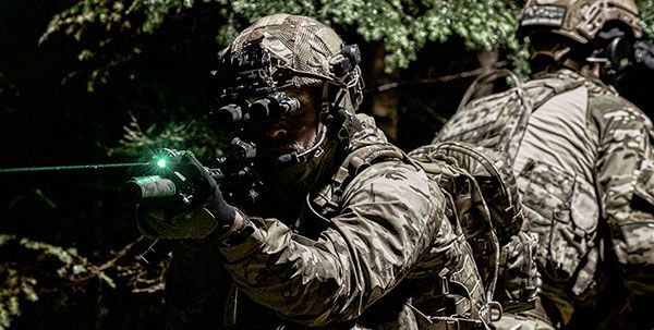
In the same way that a street map generated by a point cloud is helping LiDAR equipped autonomous vehicles to read changes and obstructions in the road, such as other vehicles and pedestrians, LiDAR equipped drones or ground vehicles can help armed forces to spot the smallest changes in the surrounding terrain. This helps improve results of intelligence surveillance reconnaissance, whilst keeping operators out of harm’s way.
Effective application of LiDAR technology for remote sensing relies on combining the information collected from a laser scanner with linear and angular spatial data provided by an Inertial Measurement Unit, or IMU. The addition of Global Navigation Satellite Systems (GNSS) allow LiDAR applications to specifically pinpoint where they are in the world with accuracy capabilities of under 5mm. The data collected enables operators to create a ‘point cloud’ or 3D representation of the target area to allow retrospective analysis to be carried out.
Once the data has been processed, time-series scans can be used to detect changes in the landscape, which might suggest the presence of an IED or bomb. Using specialist processing software, LiDAR data can be used to assist in the creation of Digital Terrain Models (DTMs), which show bare earth elements without buildings and vegetation to highlight disturbances on the surface. A Digital Elevation Model could also benefit strategists in other ways by showing buildings, infrastructure and utilities, which could be affected by, or even house, an explosive device as well as the appearance of new structures or objects such as vehicles. Automated feature extraction is even possible to remove buildings or street furniture to allow data to be analysed on multiple levels. This remarkably accurate mapping method is invaluable when it comes to improved visualisations for both battlefield scenarios, as well as when planning for the welfare of civilians.
Laser scanning can also be combined with other remote sensing techniques such as Synthetic Aperture Radar (SAR), with LiDAR data complimenting the ground penetrating capabilities of radar by providing detailed spatial and topographical information. Benefits of this include the fact that the smallest devices and components can potentially be identified before detonation – potentially saving lives.
Prior to combining the two methods, radar was found to have too short a range to allow scans to be completed as quick as is necessary in many combat situations. Advancements in geospatial technology now allow laser scanners to be mounted onto a moving vehicle such as a helicopter or tank, which up until recently would still have had to be operated by military personnel on site.
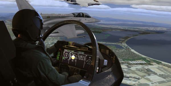
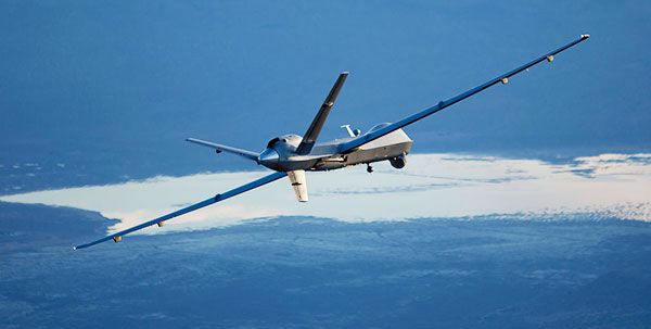
Another leap in the direction of total automation has been the introduction of Unmanned Aerial Vehicles (UAVs), which have revolutionised personnel safety in combat zones. Used for both intelligence purposes, as well as the deployment of weaponry, this new technology has undoubtedly been a welcome addition to our armed force’s technical artillery.
These drones can house laser scanners and cameras to allow topographical data to be collected completely remotely. UAV laser scanning is seeing widespread adoption across many different industries, especially for the collection of data in difficult to access locations or areas which may pose a risk for surveying personnel. In a military setting, hostile conditions can be avoided and intelligence gathered quickly and efficiently without any risk to human life.
Mobile LiDAR technology is also being used for many varying applications across a range of sectors; from smart cities and urban modelling, to precision agriculture and forestry. Automated and remote data capture is helping to increase productivity and improve safety for onsite workers across the world. For military applications, the benefits to both personnel and civilians are even more evident where life threatening events could be prevented by remote monitoring of the landscape.
Outside of international warzones, the future also holds the potential to monitor streets, airports and other busy metropolitan areas, which may become terrorist targets, by attaching LiDAR scanners such as ROBIN to vehicles which regularly pass on certain routes. The insights gained from the collected data could be invaluable for detecting large scale threats whilst continuing to protect our emergency and military personnel from harm.