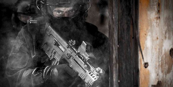
Teaching SOF CAS missions as JTACs
MetaVR‘s Virtual Reality Scene Generator (VRSG), 3D terrain, and 3D content are in the new desktop Joint Terminal Attack Controller (JTAC) simulators that replaced the call for fire trainer (CFFT) simulators at the Special Operations Terminal Attack Controller Course (SOTACC) facility at the US Army Yuma Proving Ground, Yuma, AZ/USA, as part of an award made in 2015 by Special Operations Command (SOCOM) to MetaVR’s business partner Battlespace Simulations (BSI).
The two-classroom setup uses 24 VRSG channels in total, coupled with four full licenses of BSI’s Modern Air Combat Environment (MACE) software and 16 MACE Single-Entity licenses. Each station contains a communications suite on a tablet to simulate PRC-117, PRC-148, PRC-152 radios, and a ROVER feed. Set up on a tripod in each classroom is an NVIS RANGER 47 simulated military device for laser ranging /targeting. All new hardware, including two terrain servers loaded with MetaVR’s CONUS ++, Asia, and Africa terrain data sets rounded out the upgrade, which was delivered to the SOTACC facility in December 2015.
The contract called for two classrooms, each of which consists of eight JTAC student stations, an instructor station, an instructor role-player station, and an NVIS RANGER 47 simulated laser range finder. The desktop JTAC simulators replace the CFFT simulators delivered to the SOTACC facility several years ago by Fidelity Technologies. For this upgrade, a purely commercial-off-the-shelf (COTS) solution was selected over current government issued CFFT systems.
The new simulation system is fully accredited by the Joint Fire Support Executive Steering Committee (JFS ESC) for types 1, 2, 3 controls for both day and night, and for laser target designation with a simulated military laser device.
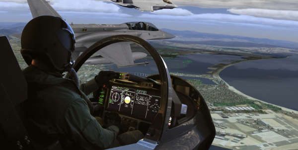
MetaVR VRSG, geospecific terrain, and extensive 3D content libraries, along with BSI’s MACE software are the key components of the system. As in other MetaVR and BSI’s accredited desktop JTAC simulators, VRSG provides out-the-window (OTW) views for the instructor, student, and role player stations, as well as views for the UAV video feed and the Ranger 47 simulated military equipment. MACE provides entity scenario generation and execution, including CFF, 9-Line, and 5-Line interfaces as well as the virtual pilot/role player station. BSI’s VIPER DIS radio provides an operationally realistic communications environment and BSI’s DIScord DIS recorder enables after-action review (AAR) and debrief.
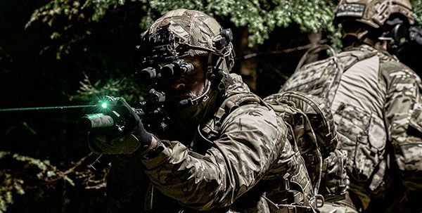
The purpose of SOTACC is to teach Special Forces troops from the US Army, Air Force, and Marine Corps the conduct of close air support (CAS) missions and to fully certify them as qualified JTACs. The four week JTAC qualification course includes three weeks of academic training and one week of live-fire CAS training. SOTACC students are trained in the technical/tactical skills and operational procedures necessary to effectively utilise rotary-wing and fixed-wing CAS assets in support of Special Operations Forces missions. Students learn the capabilities and limitations of platforms, munitions, lasers and ground marking equipment, night and urban CAS, and close air planning and control.
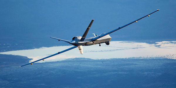
As part of the delivery, MetaVR delivered, in April 2016, high-resolution geospecific terrain of the Prospect Square area at the Yuma Proving Ground (YPG). YPG is a general-purpose desert environmental test facility, located 26mi north of Yuma. Prospect Square is an impact area used for high explosive munitions. The 2cm per-pixel resolution imagery of Prospect Square was captured in November 2015 by MetaVR’s remote-controlled portable aircraft, the MetaVRC. The aircraft was built and flown by Swift Radioplanes in military controlled air space. With both the 2cm imagery and 2-10m elevation data, MetaVR compiled full-resolution (2 cm) terrain tiles of Prospect Square with MetaVR Terrain Tools for Esri ArcGIS.
The total area of coverage of this terrain data set is 17sqkm, (set within a larger 57sqkm YPG terrain area built with 30cm imagery). Details such as craters left from the impact of various munition types are evident in both the imagery and elevation data. Underlying the high-resolution 3D terrain is MetaVR’s CONUS ++ terrain, which was built with 1m-per-pixel terrain imagery and DTED-1 elevation data.
For more information please see MILITARY TECHNOLOGY #12/2016, available at the show on booth #2729; and frequently check back for more NEWS FROM THE FLOOR.