LuciadLightspeed Enhances Decision-Making
Fighting smarter is the latest iteration of battlefield dominance. Commanders have more information than ever at their disposal, and have digital help to sort through it all and make confident, data-driven decisions.
Integrated Command and Control software (ICC) provides decision and information management support to NATO operations in peacetime, in war and during military exercises. Its use by NATO member and Partnership for Peace nations makes it arguably the world’s most widespread command and control (C2) system.
As new technologies have developed, NATO looked to LuciadLightspeed to help ICC become more suitable for its C4ISTAR role in a services-oriented era. LuciadLightspeed isa platform for developing advanced geospatial analytics applications for desktop and on-board systems, developed by Hexagon’s Geospatial division.
Supporting Critical Air C2 Functions
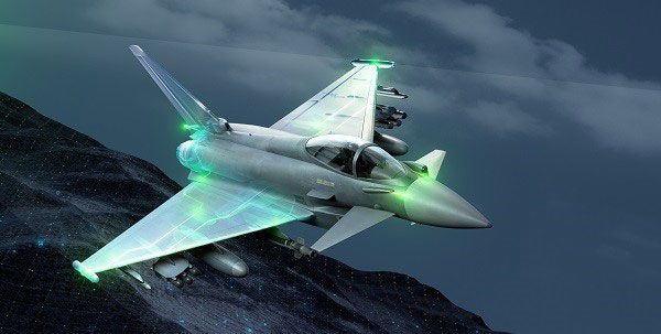
The NATO-wide ICC software was originally developed by the organization today known as the NATO Communications & Information Agency (NCIA). ICC has served consistently as NATO’s C2 system of reference for air operations. Supporting critical air C2 functions such as planning and tasking, generating air task and airspace coordination orders, current operations, targeting and recognized air picture display. NATO also uses ICC to disseminate orders, mission reports and imagery between NATO combined air operations centres (CAOCs) and command echelons.
Since NATO adopted the use of LuciadLightspeed, ICC has moved far beyond its initial focus on air C2 operations. Today, the system offers leading joint capability for mission planning and execution, to include all military operations. This powerful and dynamic Common Operating Picture (COP) capability can handle multiple consecutive live feeds and display a truly rich picture.
Time is of the essence in planning and execution of air and joint operations, and ICC networking continues to allow information to be shared in real time. From small command posts to large headquarters, operators access feeds and data to address specific challenges and plan for future tasks. The multi-user system is used by NATO military personnel, national headquarters and command posts.
Monitoring Threats in the Air and on the Ground
ICC offers multi-faceted capabilities to a network of operators both in the air and on the ground. Its ISR full-motion video handling allows unmanned aircraft to generate visuals that map and monitor areas and pattern-of-life behaviour, aiding reduction of civilian fatalities and pinpointing unusual occurrences.
Air operations planning and execution lie at the heart of ICC capability: it generates air task orders to plan the use of various aircraft types, including jets and UAS. All air units involved can access the resulting tasks and employ them while executing current operations. When modifications are necessary, missions can be manually re-tasked.
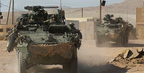
ICC was used intensively in ISAF coalition operations in Afghanistan – not only for air operations. Ground troops in Afghanistan faced daily threats from insurgents including the Taliban. From detecting roadside IEDs to mitigating attacks on civilian supply convoys, ICC proved critical in its role as part of a tracking system that supplied rich operating pictures to commanders.
Enhancing Situational Awareness
In its mission to develop graphical capabilities to effectively visualize geospatial information from multiple sources, NCIA updated ICC’s mapping system in 1999, enabling the system to provide a COP that was second to none, giving commanders improved situational awareness. The challenge was disseminating data involving fast-moving objects and changing situations.
NCIA turned to the Luciad platform to provide these capabilities. Through the platform’s flexible programming, NCIA could implement its own solutions to develop an end user system that could adapt to future needs. Ever since, NCIA has remained a loyal and satisfied user of LuciadLightspeed, adding capabilities over time as new strategic and operational demands have arisen.
The continuing evolution of the networked environment means enhancements were required in ICC’s geospatial capabilities. LuciadLightspeed provided the required upgrades, meeting the challenges of combining OGC Web Services with a variety of COP layers — a demanding environment in which ICC continues to excel.
Keeping Pace with Changing Mission Requirements
For NATO operations, real-time performance demands continue to grow and LuciadLightspeed has proven its ability to keep pace, especially through highly advanced GPU acceleration. Many enhancements have been made to the system, including multi-core processing and support for APP6 and Mil2525 symbology, KML and NVG. It can also cope with updates to over 10,000 air tracks in display cycles as small as 300 milliseconds, allowing it to display the recognized air picture by showing multiple formats of geospatial data in a single view. Support for multiple grid formats, including GARS and CGRS, ensures that nothing is lost in translation.
The ICC programme has paved the way in design requirements for future technologies of its kind. Successors, including NATO’s Air Command and Control System (ACCS) and Northern European Command C2 Information System have learned from NATO’s extensive use and are also based on award-winning Luciad platform technologies. ICC, enabled by LuciadLightspeed, will assuredly continue to improve situational awareness for NATO and individual nations.
To learn more about Hexagon’s Geospatial division’s defense technologies and solutions, visit https://hexgeo.co/2Y09Rtz
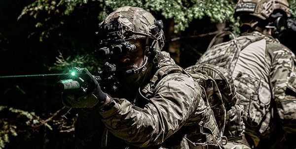
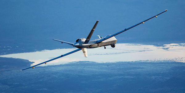
@CAP: LuciadLightspeed supports the processing and dissemination of common tactical and C4ISTAR data to multiple command echelons. (Images: Hexagon)